Home › Walks › The Blegberry circular
The Blegberry circular
A 3.7-mile loop from Hartland Quay: north along the cliffs past the Pleasure House, down to Abbey River Beach, over to the Night Manager waterfall at Blegberry, then back up the Abbey river valley to Stoke and its church. About 2½ hours walking; allow 3½ with stops.
Ways to see it
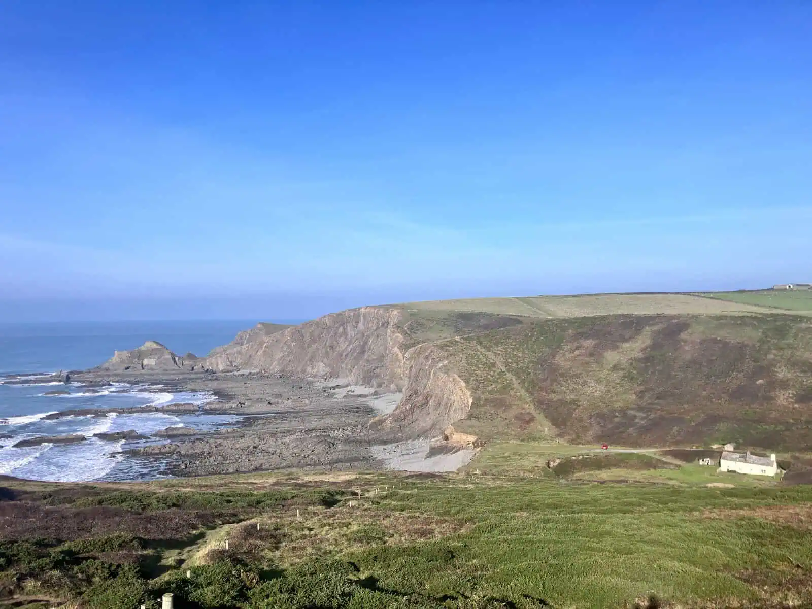
- Steps and climbs Up the steps from Abbey River Beach to the gate, then along the cliff until the path down to the beach appears. Just before the stream, the coast path carries straight on across it; a sign on the left marks the way down to Blegberry Beach.
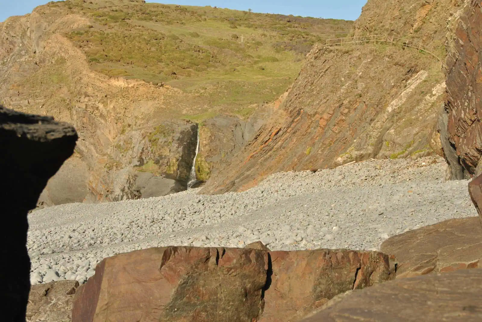
- Sure-footed only Down beside the stream, a switchback, then stairs to the beach. It brings you out a fair way from the fall: pick your way over loose pebbles to its foot.
At a glance
Distance: 3.7 miles (5.9 km), a loop. Time: about 2½ hours walking; allow 3½ with stops.
Grade: strenuous with Blegberry, undulating without it. The full loop is clifftop to sea level and back, twice, with loose pebbles to cross at the bottom of the second drop, and the whole climb back out still to come. Skip the waterfall and it's about 3.2 miles and 200 m: up from the Quay, over the top and down to Abbey River Beach, then a gentler climb out over the course of a mile.
Climbing: about 300 m by my watch, most of it in four big climbs: up from the Quay, the steps, back up from Blegberry, and up the valley to Stoke.
Start: Hartland Quay: any of its three car parks. Start and finish at the Quay: the small car park by St Nectan's is kept for people coming to the church and the churchyard.
Dogs: bins at the Quay and in Stoke, none between. Signal: patchy at best, and it differs by network.
On screen: several of The Night Manager's episode 2 locations are on this loop.
The route
1. Hartland Quay
Where you start depends on where you park. From the lower car park, the road climbs steeply in a switchback to the middle car park, the one with the old boat. From there, steps beside the road lead up to the Rocket House, where the coast path north begins. From the top car park, just past the toll booth, the path is right beside you.
From the road between the lower and middle car parks you look across Warren Beach.
This is the first Night Manager location on the loop: Pine rides his motorbike down the Quay road towards the sea, filmed from this car park.
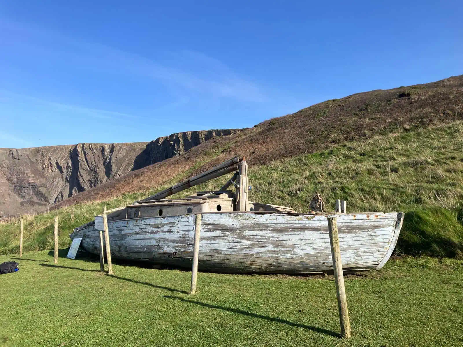
Public toilets are in the leftmost building facing the car park. Hartland Quay.
2. The clifftop and the Pleasure House
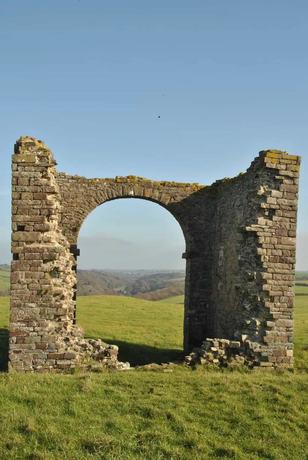
At the Rocket House, the glass-fronted house on the corner by the toll booth, you join the coast path north: the first big climb is behind you. As soon as you're past the house, the first thing you see is a ruin on the skyline.
It's listed as the Pleasure House, a folly. Google Maps calls it Warren Lookout Tower.
Stand in its big arch and look east: Stoke's church tower and, beyond it, Hartland Abbey sit almost in one line. You'll be at that church tower later.
3. Down to Abbey River Beach
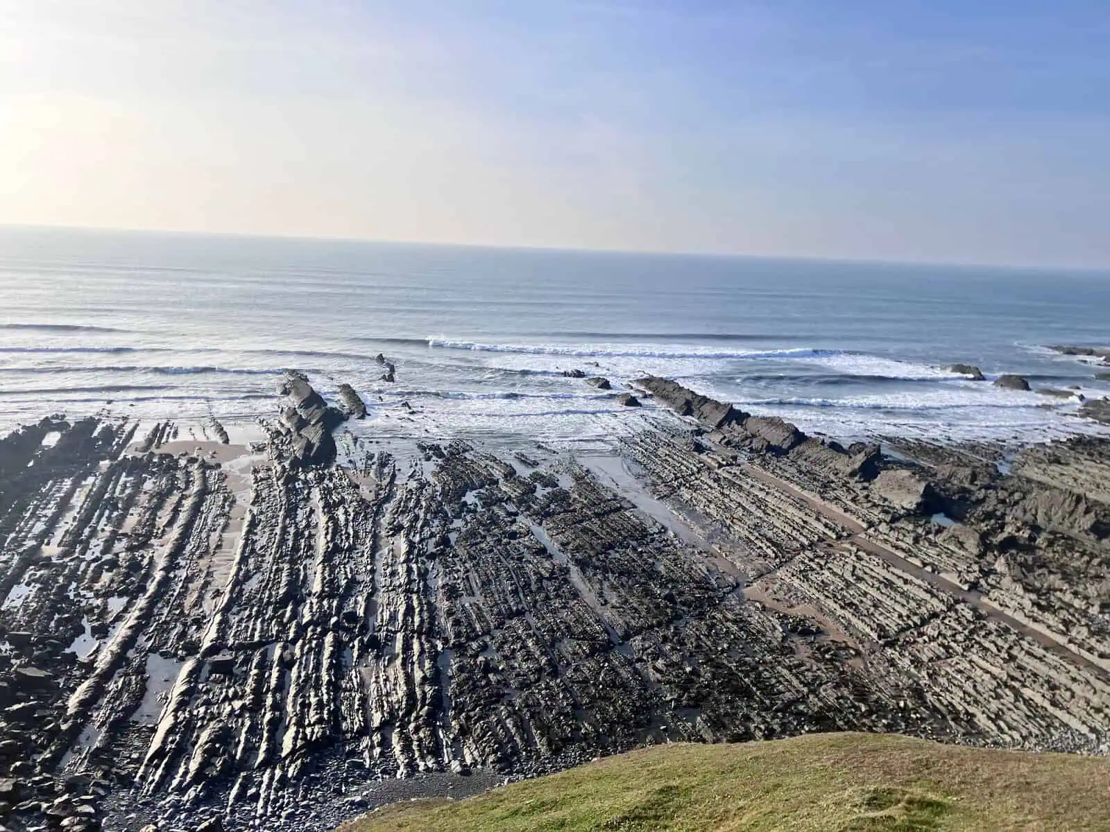
North along the cliff, the path drops to Abbey River Beach, where the Abbey's river meets the sea. Just inland is Blackpool Mill Cottage, Pine's hideaway in episode 2.
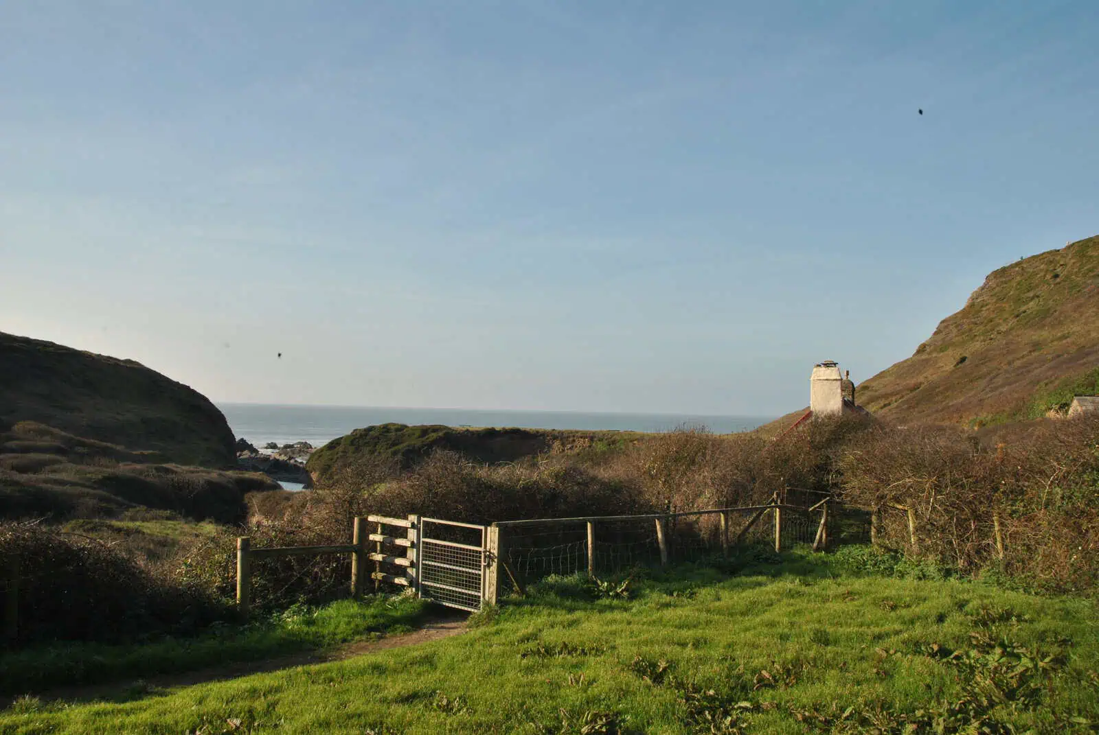
Signal down here is patchy at best and depends on your network.
4. The 151 steps and Blegberry
From the beach, the steps climb about 50 m to a gate onto the Blegberry path. Along the cliff, just before the stream, a sign on the left marks the way down to Blegberry Beach.
The stairs come out a fair way from the fall, and the beach is big, loose pebbles: sure-footed only. Clamber over the rocks on the south side and you can frame the same scene as the film. The full story of the waterfall.
Then back the same way: up from Blegberry (the third climb) and down the 151 steps to Abbey River Beach.
5. Up the Abbey river valley
From Abbey River Beach, head inland up the valley. One wrong turn to avoid: the path up the left-hand side of the valley climbs back to the coast path and a private gate. Go back past Blackpool Mill, cross the field, and take the right-hand side of the valley.
Out of the first woodland you come to a fork. The way I've mapped turns right just before the big field and climbs, then drops to a gravel switchback: the walkers' route between Stoke and the Abbey. At the lane, turn right for the steps up to the church.
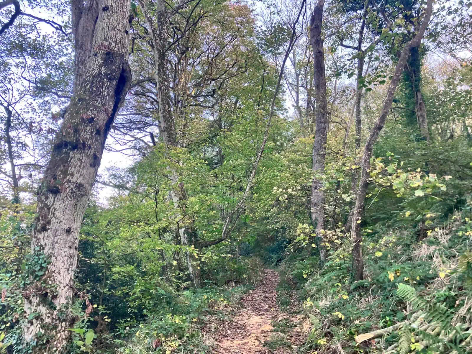
Or by the Abbey: the left-hand path through more woodland crosses a big field and comes out at Hartland Abbey. From there, the walkers' switchback climbs to Stoke.
6. Stoke: the rest stop
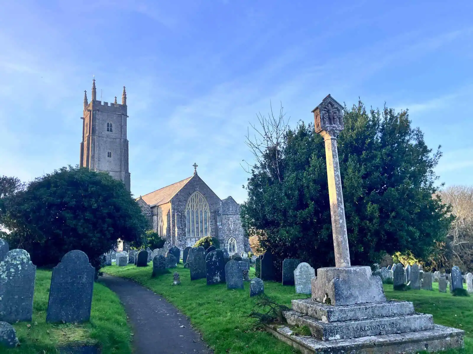
Toilets, a dog bin and a defibrillator are together in the little building just left of the churchyard gate.
St Nectan's church tower is 39 m (128 ft) high.
7. Back to the Quay
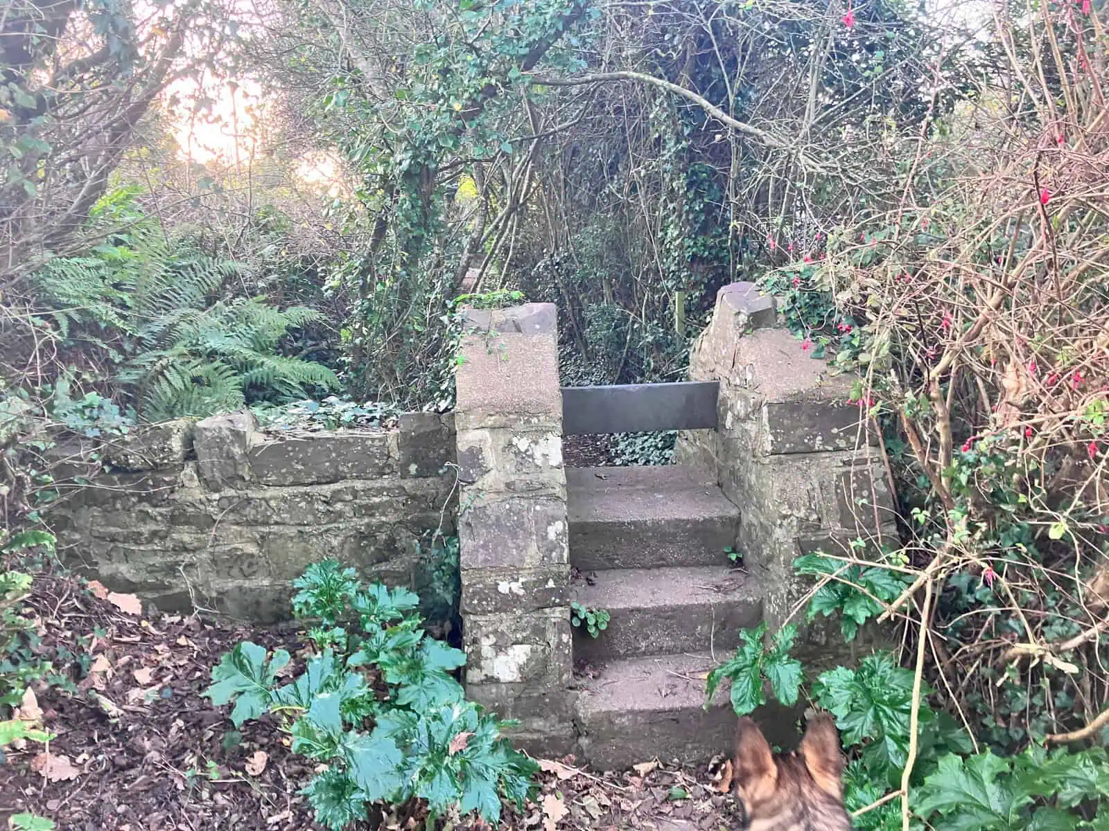
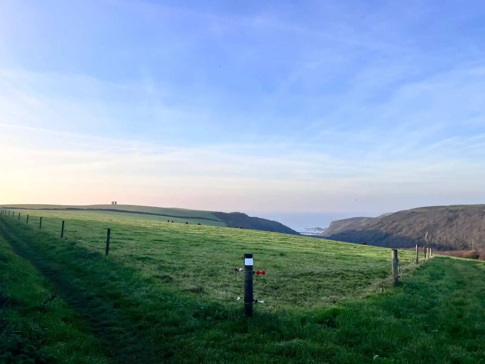
From Stoke, the path back to the Quay runs beside the road, but behind a hedge. You join it over a stone stile: a couple of steps up, then a slab to step over. It comes out at the top right-hand corner of the field above Abbey River Beach. You can see the beach and the Pleasure House from here, and the Quay is straight ahead.
Before you go
Signal is patchy at best, and on 31 October it differed by network.
From the main road, just follow the signs to Hartland Quay.
Last checked on the ground: 31 October 2026.