Hartland Quay is where the road ends, at the sea on the Hartland peninsula. It looks west over the Atlantic, south down the Cornish coast and, when the weather allows, out towards Lundy.
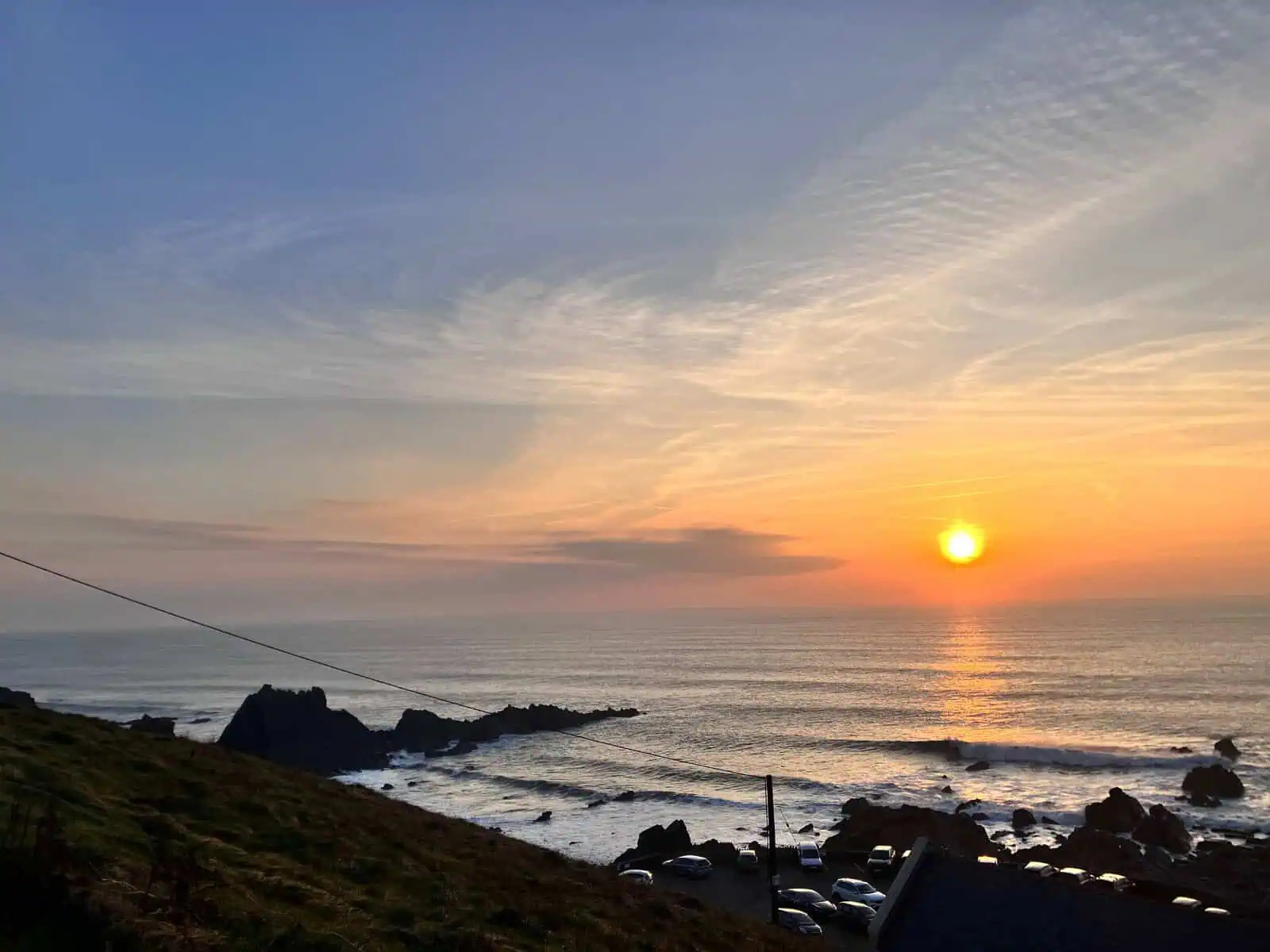
Sunset at Hartland Quay, 31 October 2026.
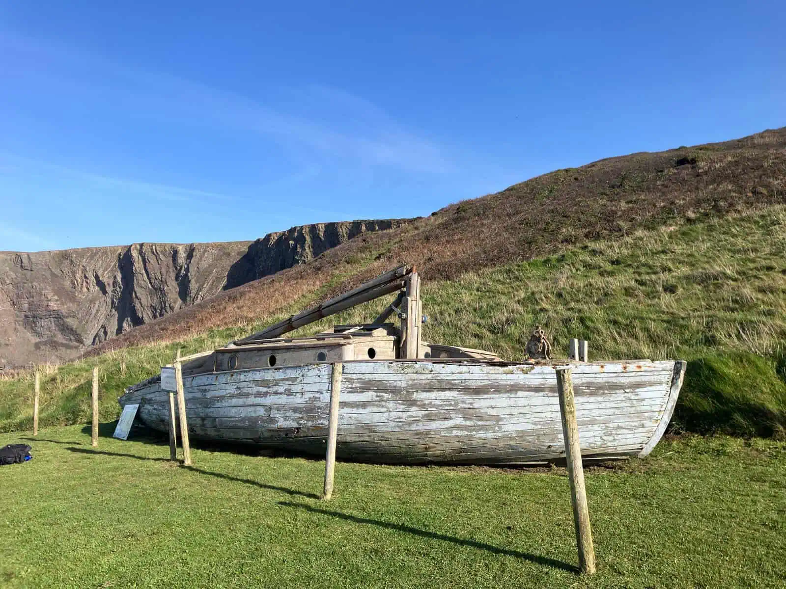
Three car parks, one ticket: a small one at the top, just past the toll booth; the middle one, with the old boat, by the steps up to the coast path; and the lower one by the museum.
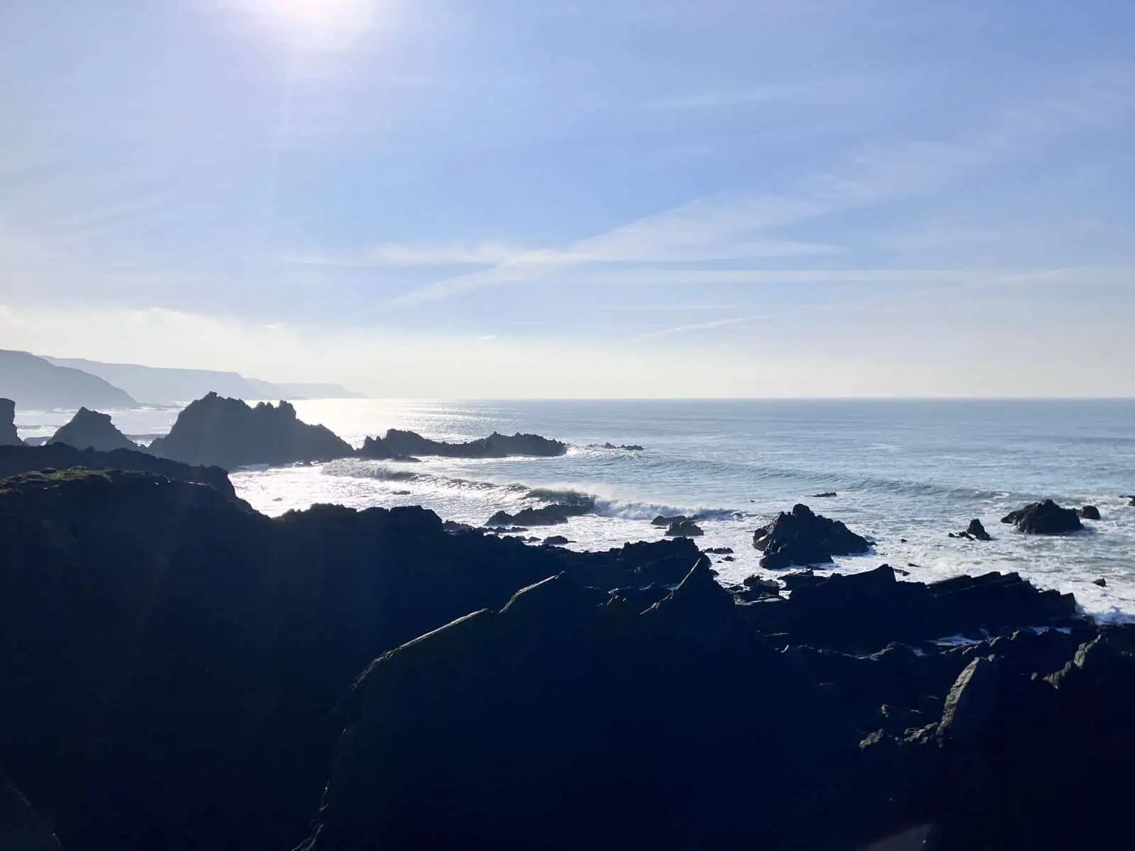
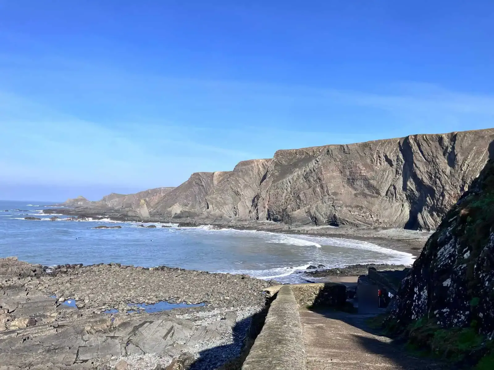
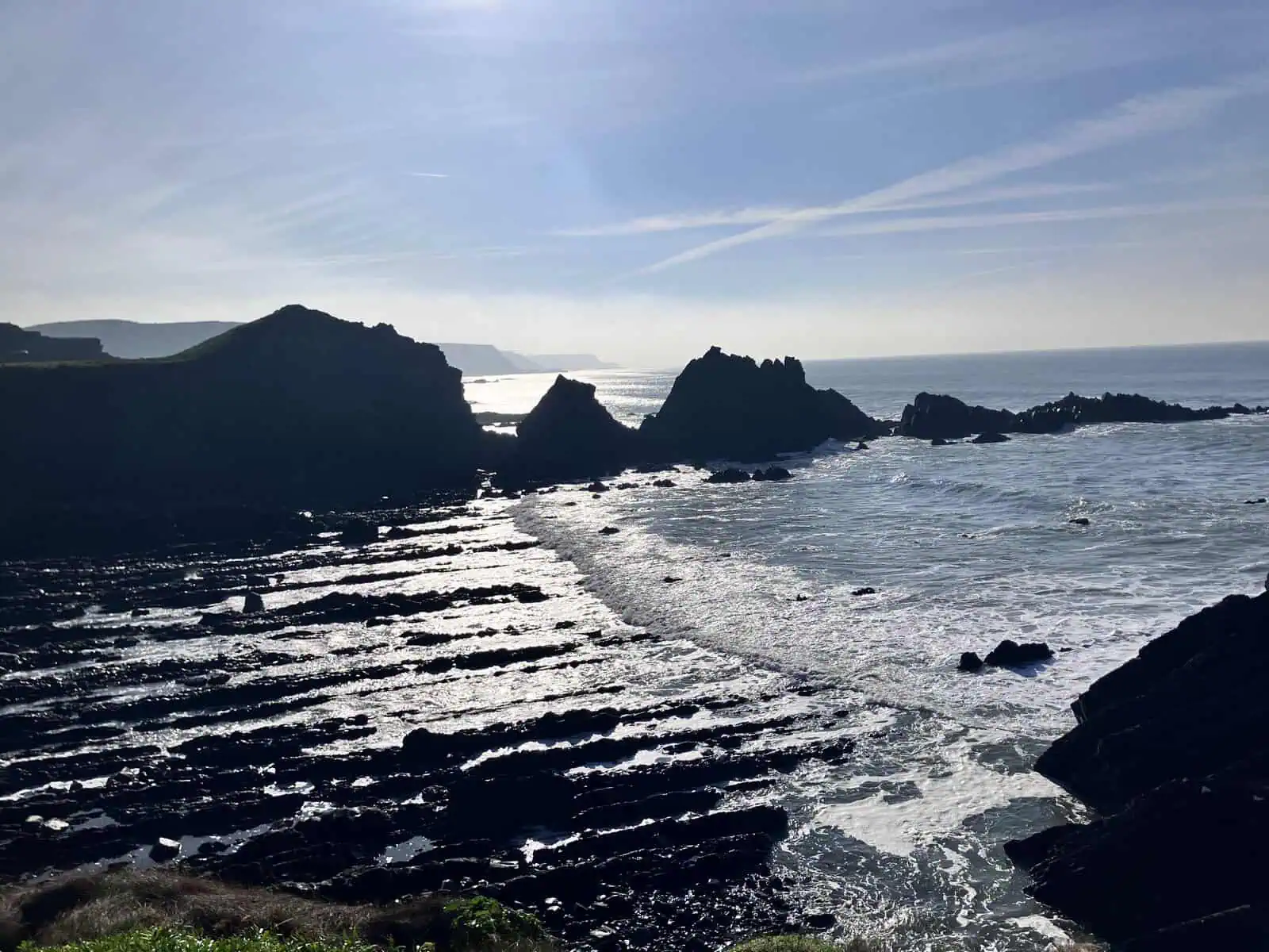
From the lookout, a raised rocky point beyond the last of the Quay's buildings, the coast runs both ways. South, the end of Well Beach's jagged rocks is at your left and the coast sweeps on towards Cornwall; how far you can see depends on the haze. North, the folded cliffs run up the coast above the cove the Quay looks onto, a surfing beach; on 31 October the surf was good. In the cliff, look for a fold that shows as an eye-shaped cave. Behind you is the row of staff houses folding onto the hotel and the Quay.
The view south from the lookout, 31 October 2026.The cove the Quay looks onto, north of the buildings: the surfing beach under the folded cliffs.
Ways to see it
From the car Park at the Quay for the beach, the lookout and the toilets.
A short walk Climb the steps from the Quay to the clifftop. The first thing you see is a ruin on the skyline: the Pleasure House.
Steps and climbs From the middle car park, the one with the old boat, steps lead up to the coast path north at the Rocket House.
Parking: £4 for the day when I paid at the toll booth on 31 October 2026. They took my card.
The lookout: follow the lane between the Quay buildings, past the museum on your left. At the end of the left-hand building, picnic benches and a few steps lead down to a grassy area with more benches. Beyond it, the raised rocky point is the lookout. The path beyond the buildings is the only way to it.
Dogs: there are dog bins at the Quay and in Stoke, and none on the coast path between them.
Signal: patchy at best, and it depends on your network: on the same day, one of us had signal where the other didn't.
Public toilets: walk from the car park towards the Quay buildings and they're the first thing you see: ladies and gents, facing the car park in the leftmost building. Open to anyone.
There's a defibrillator at Stoke church gate, inland, with more toilets and a dog bin: see Stoke and Before you go: Hartland.
From the cottage
About 12 miles west of End Cottage in a straight line.
Why it's a far end
Hartland Quay is a far end: you drive until the road runs out, park, and explore on foot. From the top of the steps, the coast path runs north to the waterfalls and south towards Speke's Mill.
The ruin on the skyline
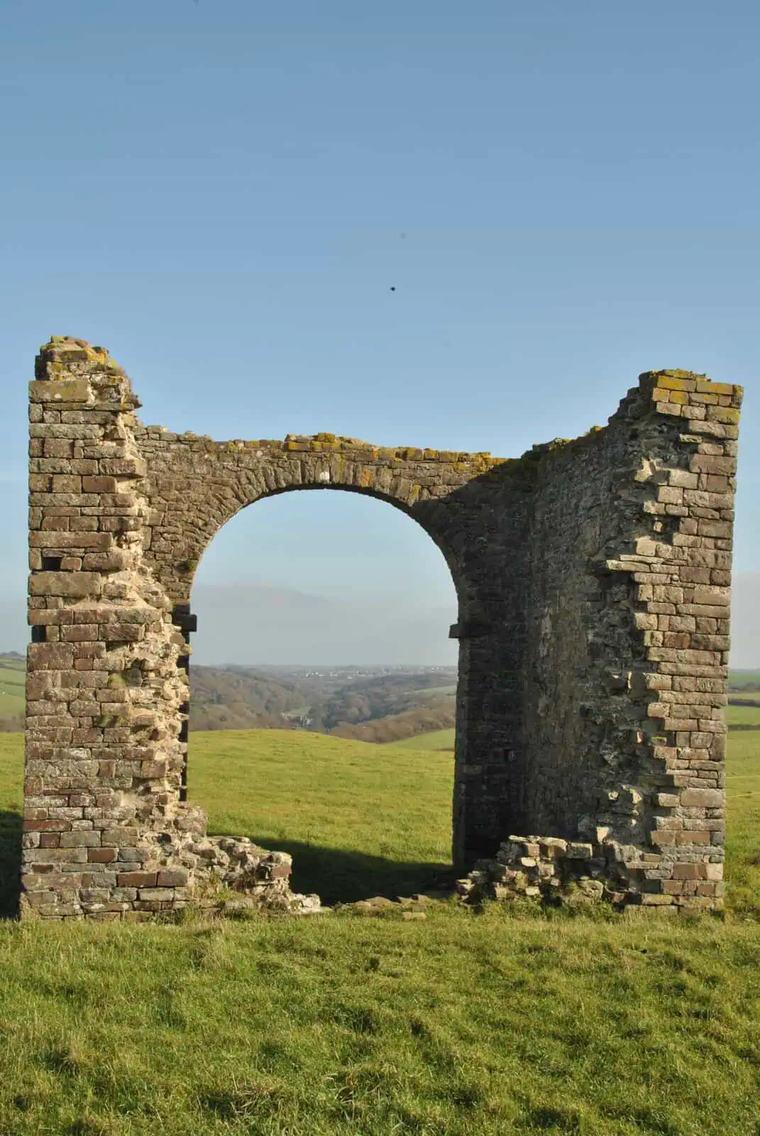
Climb the steps from the Quay and the first thing you see is a ruin on the skyline. It's the Pleasure House, a listed folly. Google Maps calls it Warren Lookout Tower.
The Pleasure House: look east through the arch.
From the drive down you get a glimpse at a gate or two at most: a Devon hedge runs almost the whole length of the road and hides it, so the clifftop is where it appears.
Stand in its big arch and look east. Stoke's church tower and, beyond it, Hartland Abbey sit almost in one line.
Lundy, when the weather allows
Look north from the Quay and Lundy sits on the horizon when the weather allows. On 31 October, in bright sunshine, the haze hid it completely.
R. Pearse Chope, a Hartland historian, wrote that Lundy's look changes with the air, and recorded a rhyme for reading the weather from it (Farthest from the Railways): Lundy high, sign of dry; Lundy plain, sign of rain; Lundy low, sign of snow.
On screen
The Night Manager (BBC, 2016). In episode 2, Tom Hiddleston's Jonathan Pine rides his motorbike down the Quay road towards the sea. The shot was taken from the middle car park by the old boat: park there and you're looking down the same road Pine rode.
The old boat in the middle car park, used on Warren Beach in the filming of Rebecca and moved up here afterwards. Pine's motorbike shot was filmed from here.
From the lookout on 31 October the swell was stunning: big waves breaking close to the shore.
Walks from here
The Blegberry circular: north along the clifftop past the Pleasure House, down to Abbey River Beach, up the steps and down to Blegberry's waterfall, back to Abbey River Beach, then up the Abbey river valley and Stoke. 3.7 miles, about 300 m of climbing. The walk.
Eat and drink
You can get food and drink at the Wreckers Retreat.